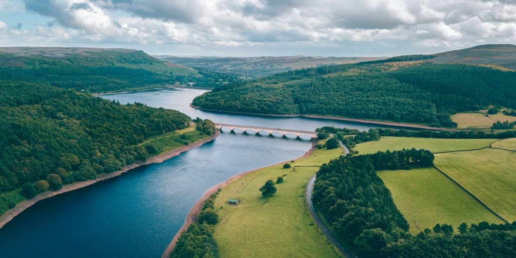
Bathymetric Survey
What is Bathymetric Survey? Bathymetric survey, sometimes referred to as a fathometric survey, is a type of hydrographic (water-based) survey that maps the depths and shapes of underwater terrain to illustrate the land that lies below. Bathymetric surveyors work to obtain an […]
Bathymetric Survey Read More »

