Services
- Home
- /
- Services
Our Services
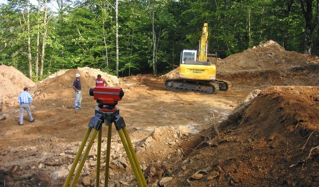
LAND AND ENGINEERING SURVEY
This service involves measuring physical features of the land with great precision. Based on these verifications, our survey engineers establish the dimensions, distances and angles of the land. Application of state of art technology such as GPS, AutoCAD software, and digital photography add quality to land development and construction projects.
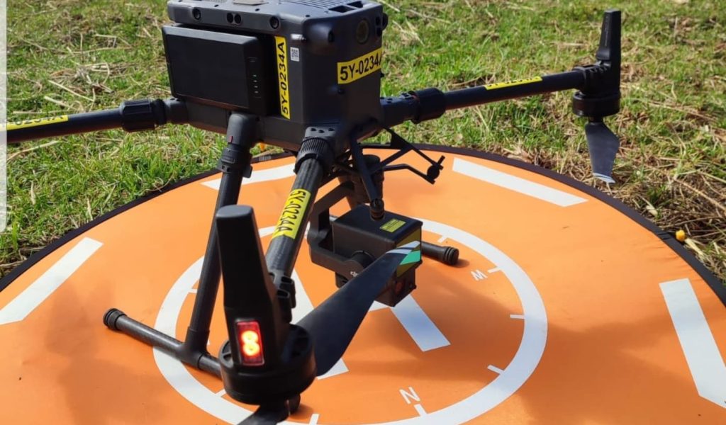
AERIAL LIDAR SURVEY
Our Drone data provides most valuable insights in terms of evaluation, planning, site operations and maintenance, thereby reducing the groundwork. We work with a variety of Large, compact and portable UAV platforms suitable for varying situations. Ground Sampling Distance or resolutions being as high as up to 1cm per pixel.
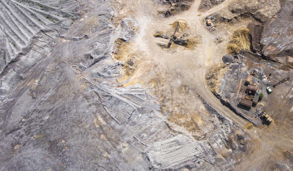
UTILITY INSPECTION USING DRONE BASED PAYLOADS
Aerial Drone Inspections are very efficient and timely compared to manual inspections which could take days or even weeks. Data Drone can carry out aerial inspections within minutes and have the highly detailed data to you as soon as we plug the SD card in a computer or tablet. Clients can even watch a live feed of our drone inspection missions so they can collaborate with us the specific data they want.
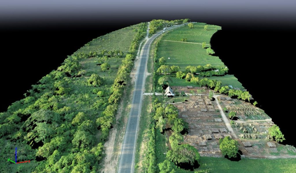
CLOSE RANGE PHOTOGRAMMETRY
Photogrammetric survey is a very useful and standard process in order to obtain accurate 3D data for the documentation and visualization of engineering projects, cultural sites, mapping of natural resources and historical sites.
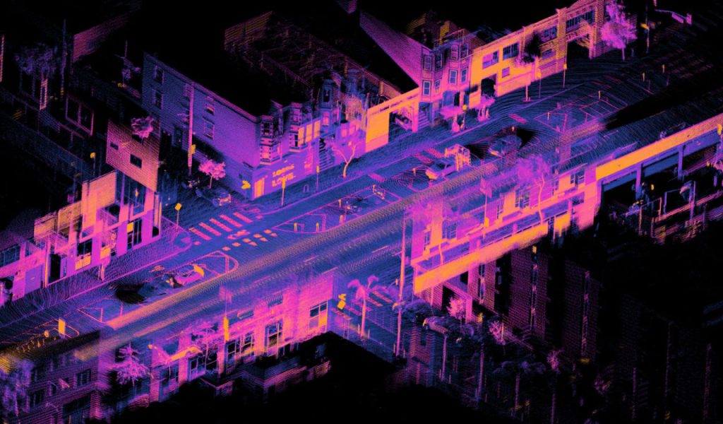
PRODUCTION OF HIGH RESOLUTION 3D MODELS
We pride ourselves in advanced application of lidar technology, use of photogrammetry data to generate high resolutions 3D images for various engineering and enviromental projects.
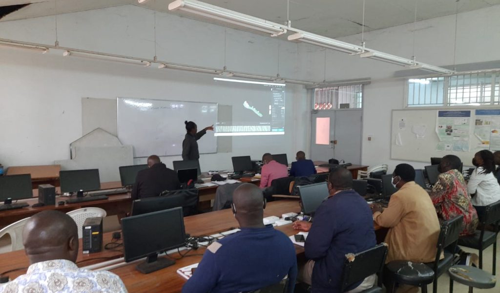
TRAINING ON USE OF DRONE EQUIPMENT AND SENSORS
We offer advanced training that give you the ability to be industry-ready and enable you to solve specific local problems with drone technology.
Our Amazing Clients
