Geo-Cart

Blog

G1 e1705305271311

Geo-Cart’s Landmark Achievement: Municipal Landfill Thermal Mapping Project

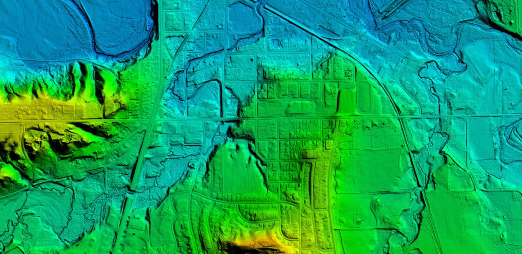
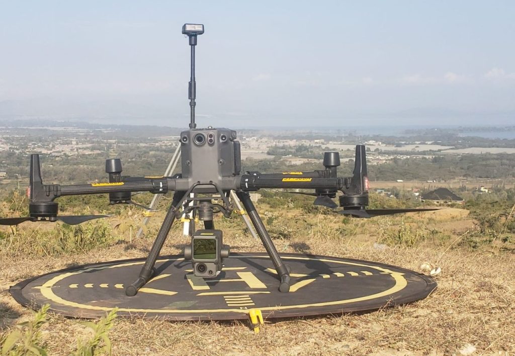
We’re proud to unveil a significant milestone in our commitment to advanced environmental solutions. Geo-Cart has successfully conducted a comprehensive thermal mapping project encompassing key municipal landfill sites in Naivasha, Nakuru, Mombasa, Kisumu, and Eldoret. Cutting-Edge Technology:Our team harnessed the exceptional capabilities […]

Geo-Cart’s Landmark Achievement: Municipal Landfill Thermal Mapping Project Read More »

river bathymetric survey

Bathymetric Survey

What is Bathymetric Survey? Bathymetric survey, sometimes referred to as a fathometric survey, is a type of hydrographic (water-based) survey that maps the depths and shapes of underwater terrain to illustrate the land that lies below. Bathymetric surveyors work to obtain an

Bathymetric Survey Read More »

tinywow aerial mapping 6857626

Drone LiDAR Survey

Make informed decisions faster with data you can rely on Decisions are critical when managing your environment and when you’re planning, designing, constructing and maintaining your major assets. Tasks are highly sequential and therefore time sensitive. The absence or delay of the

Drone LiDAR Survey Read More »

tinywow alexandru boicu h0z0ptvGVR8 unsplash 6852344

Power Lines Inspection

  Today, an increasing number of companies are using drone technology for visual inspection, as it is a cost-conscious and effective way to inspect at heights and inaccessible areas. The use of drones for inspection of power lines, civil infrastructure etc. offer

Power Lines Inspection Read More »

Open chat
1
Scan the code
Hello
Welcome to Geo-Cart. How can we help you?
Call Now Button