What is Bathymetric Survey?

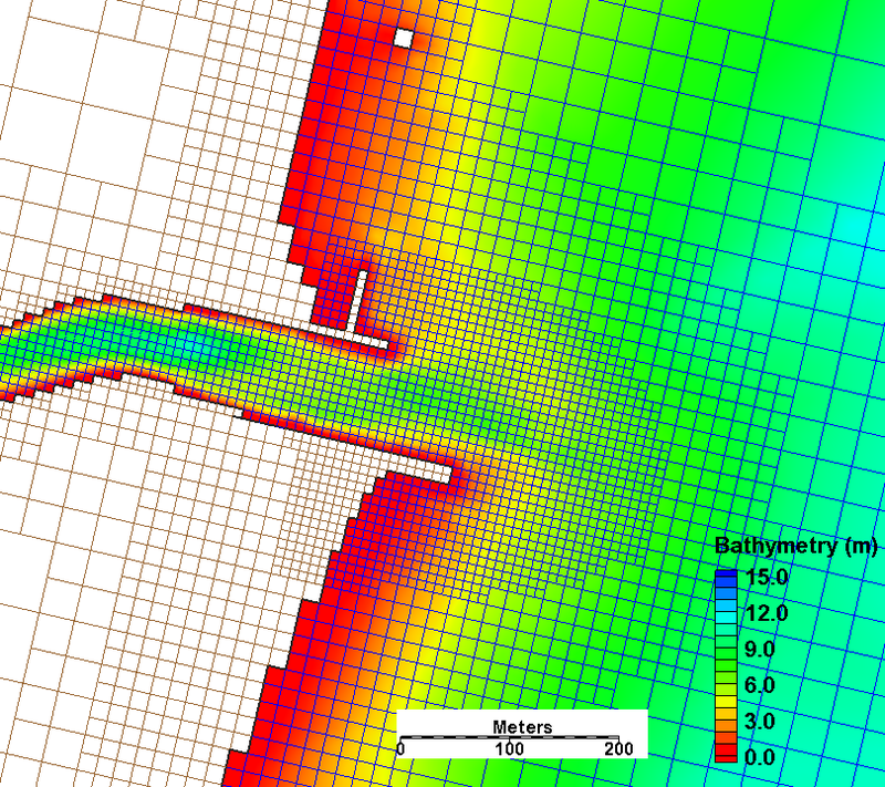
Bathymetric survey, sometimes referred to as a fathometric survey, is a type of hydrographic (water-based) survey that maps the depths and shapes of underwater terrain to illustrate the land that lies below.
Bathymetric surveyors work to obtain an exact representative image of the seabed and identify specific elevations, anomalies, and the presence of any scour around submerged structures. They also analyze and define the surrounding shorelines, tides, currents, and waves to create a better model of the area features overall.
When performing bathymetric surveys in deep bodies of water (like seas and oceans) for marine construction projects like dredging or offshore energy, multi-beam survey technology aboard a custom vessel is typically utilized. A multi-beam echo sounder attaches to a boat sends out a wide array of beams across a “swath” of the waterbody floor. The multi-beam system pings sound waves in a fan shape of narrow adjacent beams that bounce off the seabed and return to calculate the distance to the seafloor. As the beams are bounced back from the waterbody floor, the data is collected and can be processed in real time on the vessel during the survey.
On the other hand, for smaller bodies of water a single-beam beam survey is often used. Single-beam bathymetry measures the water depth directly under the boat.

